
A Pennsylvanian Surveyor/Lawyer Out West


My wife and I visited northwestern New Mexico and southwestern Colorado this summer. My Eagle Scout daughter spent her summer working at the Philmont Scout Range. My wife was unaware, even after we had an itinerary, that I had some ulterior motives.
We flew into Albuquerque, NM, and immediately headed to Four Corners Monument. I wanted to see the monument of the intersection of four state boundaries. This being my first visit to the southwest, I was amazed and in awe by the landscape and how different it was from Pennsylvania as we made our way to Four Corners.

Four Corners interested me both as a surveyor and attorney. In 1863, Congress created the Arizona Territory from the western part of the New Mexico Territory. The boundary was defined as a line running due south from the southwest corner of Colorado Territory, which had been created in 1861. This was unusual, as Congress, almost always defined the boundaries of new territories as lines of latitude or longitude, or following rivers, but seldom as extensions of other boundaries. By defining one boundary as starting at the corner of another, Congress ensured the eventual creation of the four states meeting at a single point. While Congress intended the corners of Colorado to be placed at the intersections of lines of specific latitude and longitude, due to a survey error of the time, the originally surveyed location of the "Four Corners" point, along with the corresponding survey marker, was placed 1,821 feet east of the intended location. This error was discovered in 1875 during a survey of the entire boundary between the territories of Arizona and New Mexico, from the U.S.-Mexico boundary to the 37th parallel of latitude north of the equator, at which time, it was relocated.
The 1863 Act of Congress specified that the boundary should be coincident with the 32nd meridian of longitude west of the Washington (DC) Meridian. The Washington Meridian, which had been in use since 1850, was defined as bisecting the dome of the old Naval Observatory, situated at a longitude of 77 degrees 03 minutes West. The boundaries of 11 western states are similarly longitude-referenced to the Washington Meridian, and not the Greenwich Meridian. This practice was in place in the U.S. until 1912, when our nation adopted Greenwich as its standard longitude reference. In 1863, Congress had specified the Arizona-New Mexico boundary, and the Four Corners monument, should be established at a longitude of 109 degrees 03 minutes West, as referenced to the Greenwich Meridian.
In 1925, the problems surrounding the originally marker were brought up before the US Supreme Court. The Supreme Court redefined the point of the Four Corners, officially moving the Four Corners point roughly 1,800 feet east, to where the original survey had first held it to be, and where it remains to this day, duly marked.
The Four Corners Monument is administered by the Navajo Nation Department of Parks and Recreation. Six governments have jurisdictional boundaries at the Four Corners Monument: the states of Arizona, Colorado, New Mexico, and Utah, as well as the tribal governments of the Navajo Nation and Ute Mountain Ute Tribe.
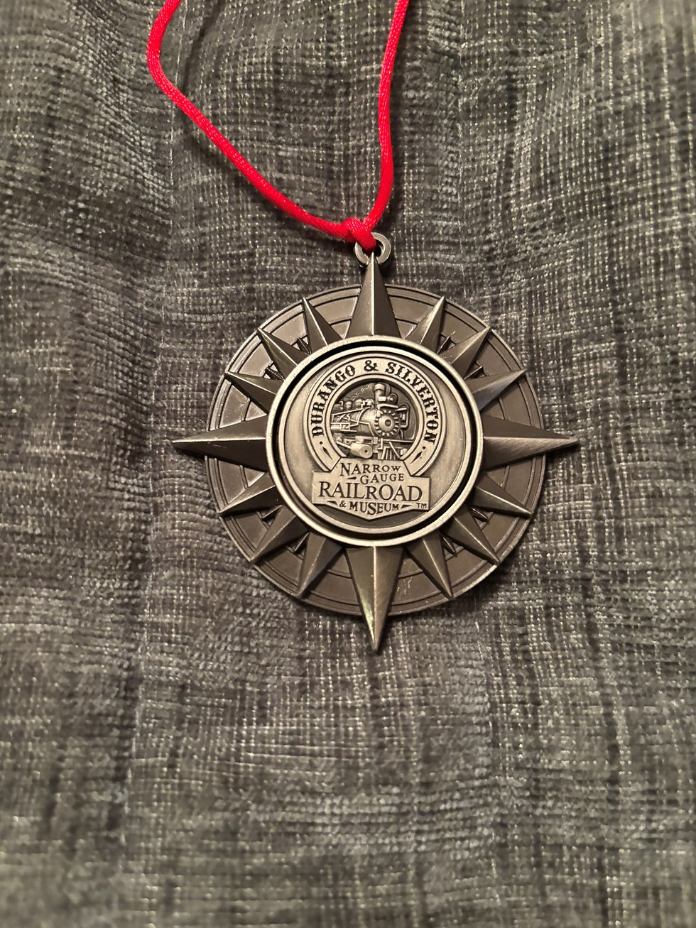
From Four Corners, we headed to Durango, Colorado, where I had my first experience in the Rockies, and was again in awe. Here, we began my C. W. McCall tour. We took a bus to Silverton and road the steam train back to Durango through the Animus Canyon. From there up Wolf Creek Pass, along the Great Divide to Alamoso, stopping in Pagosa Springs for supper.
We then drove to Philmont, where we spent the night in a tent. The next day to Toas, New Mexico where we took a raft ride down the Rio Grande River with my daughter. We then returned to Albuquerque where, the next day, we took a hot air ballon ride over the desert. I was able to pick up some surveying related souvenirs all along the way. We put almost 1,000 miles on our rental car in six days, and created lifelong memories.





Comments